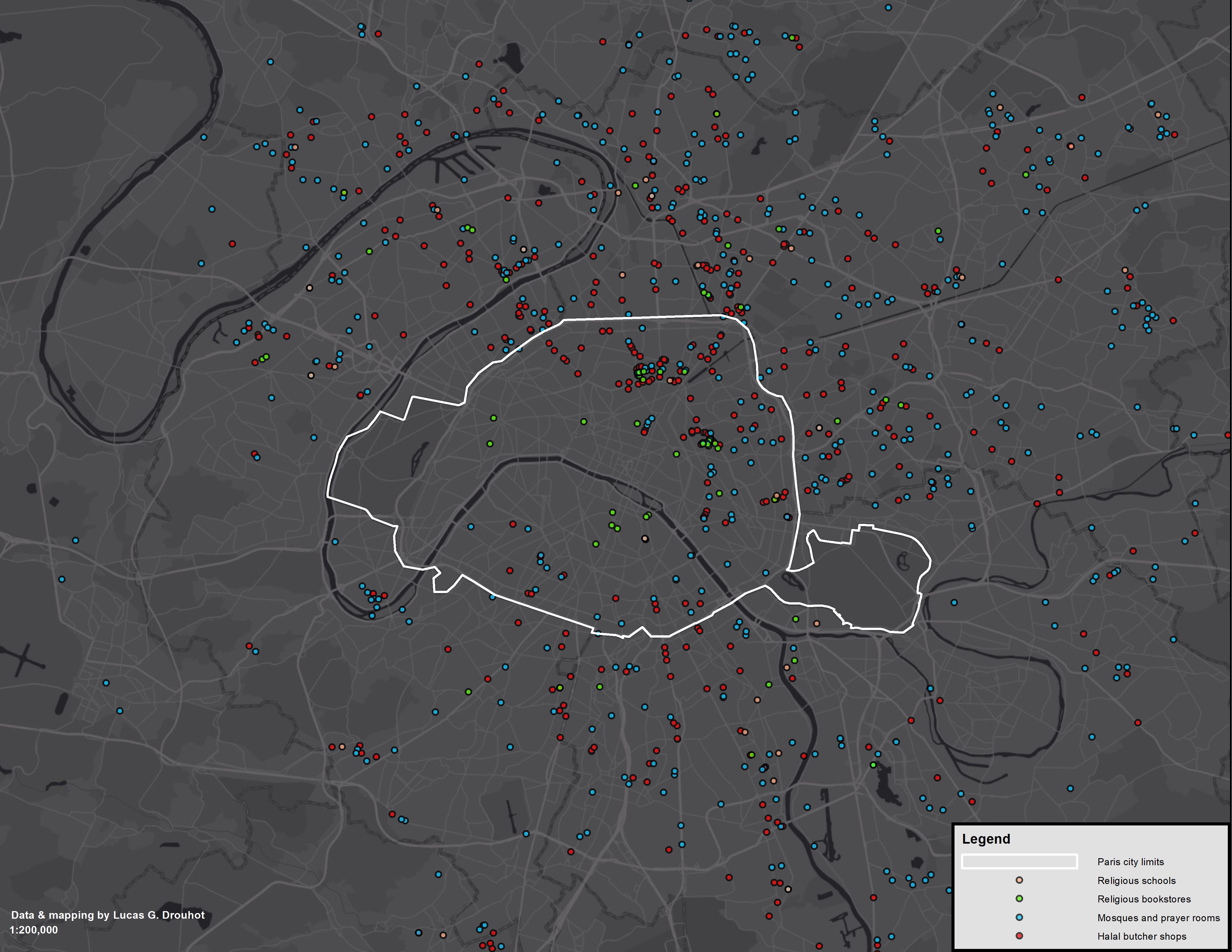
The purported spatial segregation of Muslim populations in Western Europe constitutes a longstanding policy and scholarly concern, yet little spatial data exists for purposes of empirical study. The MAPISLAM dataset is a research effort aimed at bridging this gap for the French empirical context. MAPISLAM relies on publicly available online repositories of addresses for places of interest destined to the Muslim communities of France’s major cities - namely mosques and prayers rooms, religious butcher shops, religious bookstores and schools. The MAPISLAM dataset is stored in the GESIS data archive and can be freely accessed with a registered account.